The
PLACE
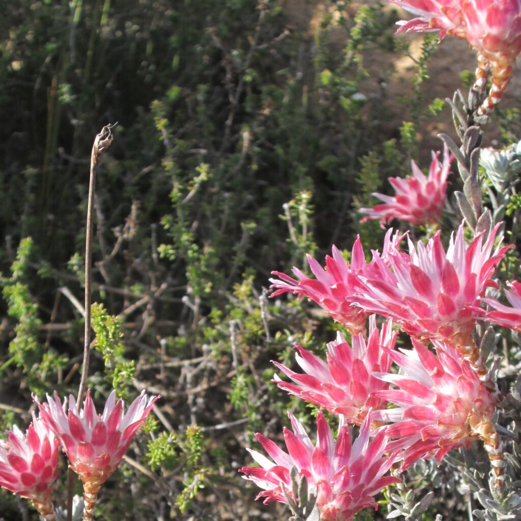
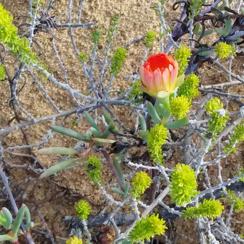
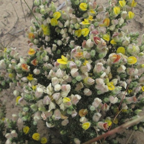
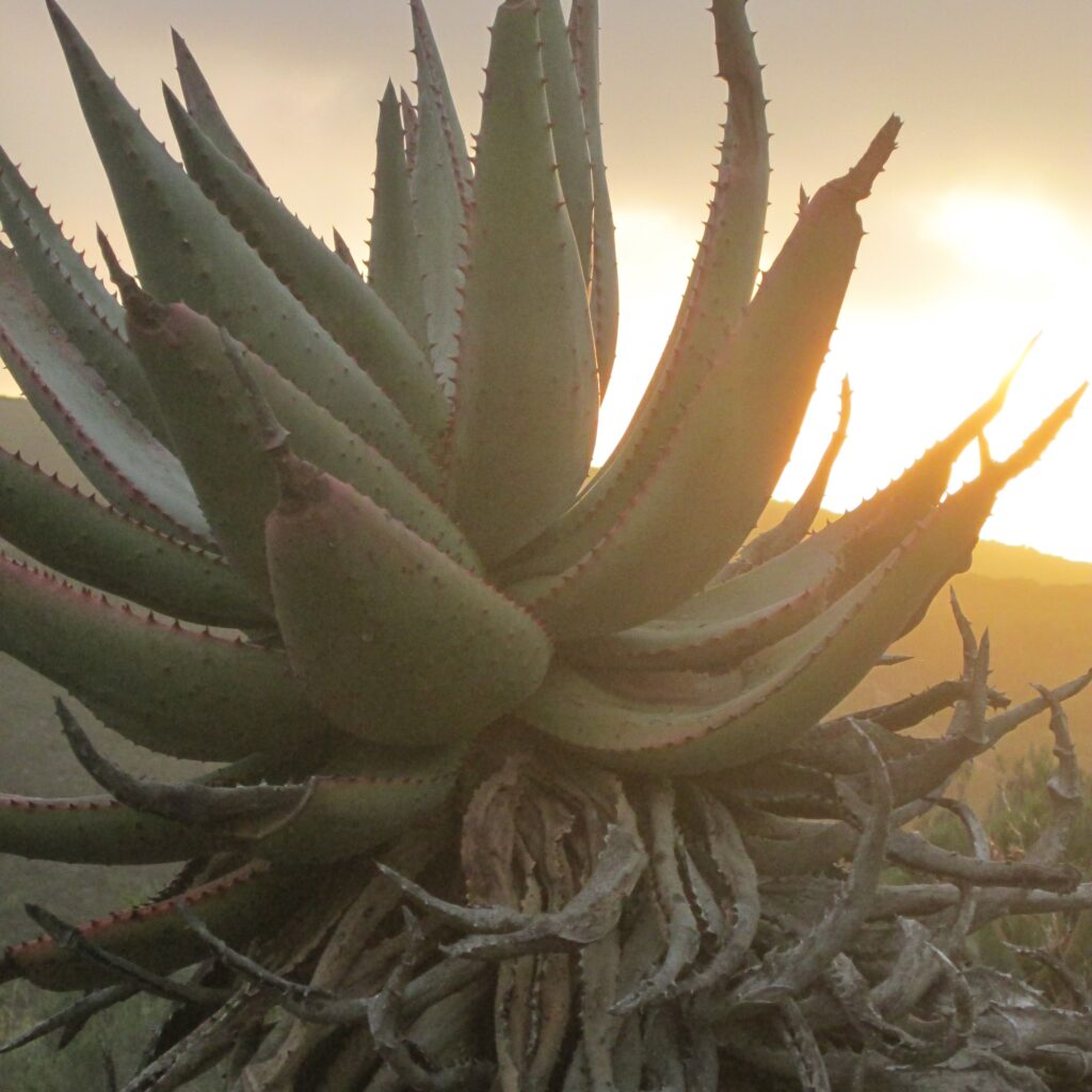
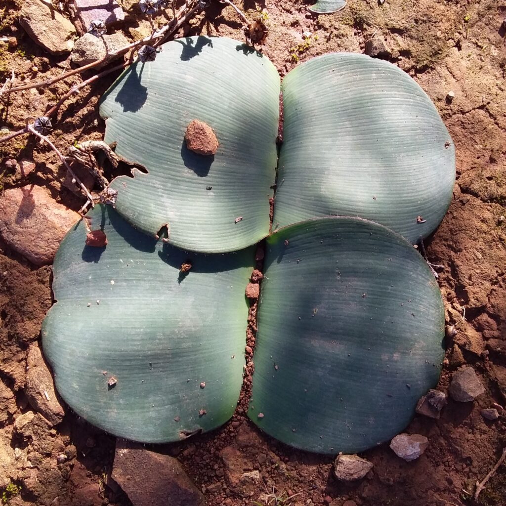
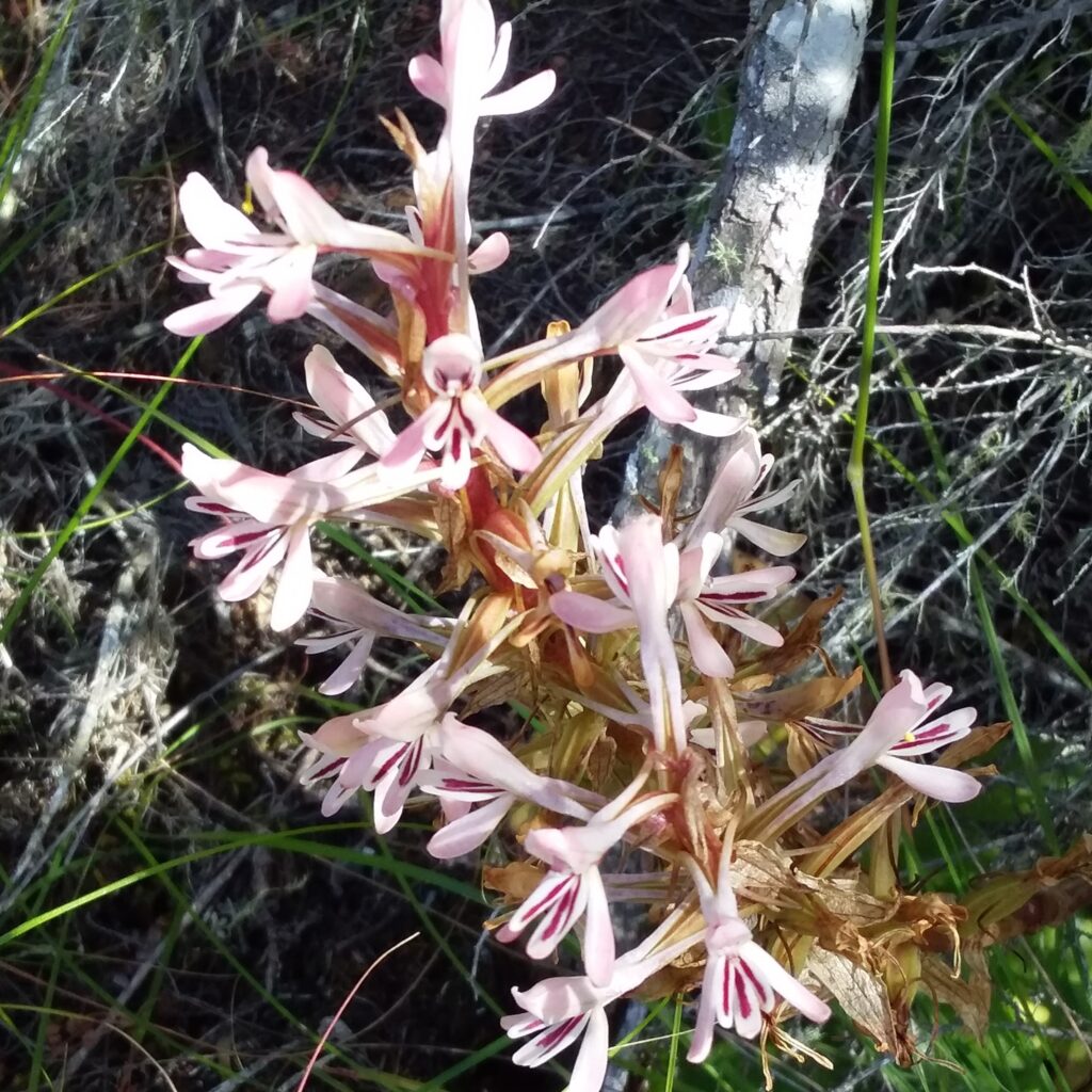
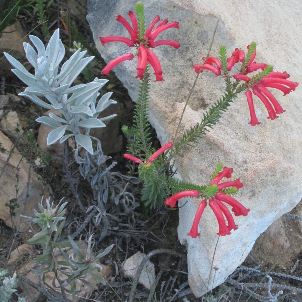
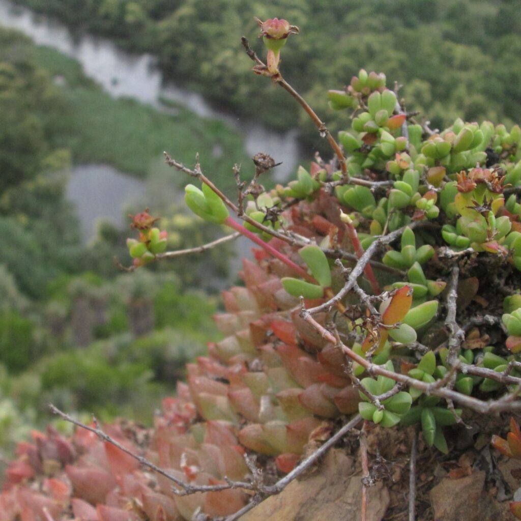
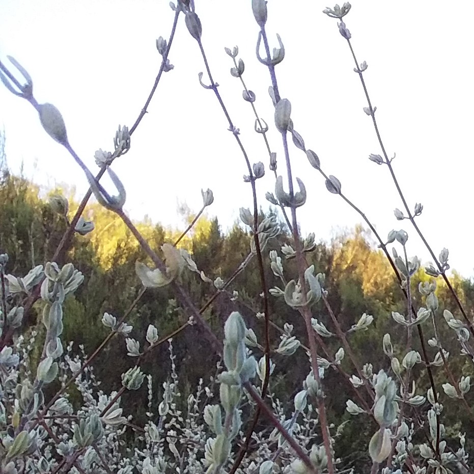
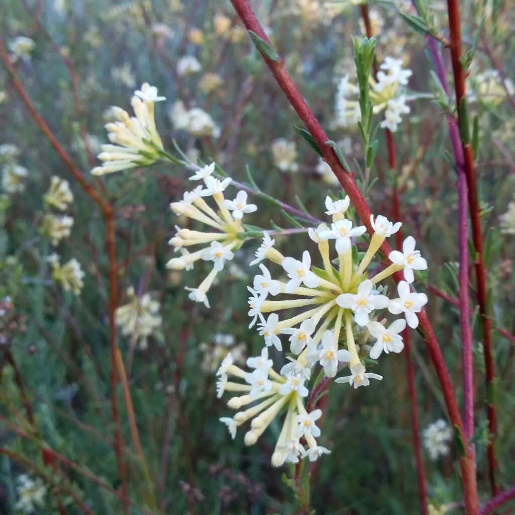
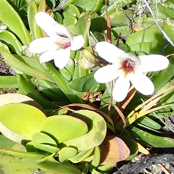
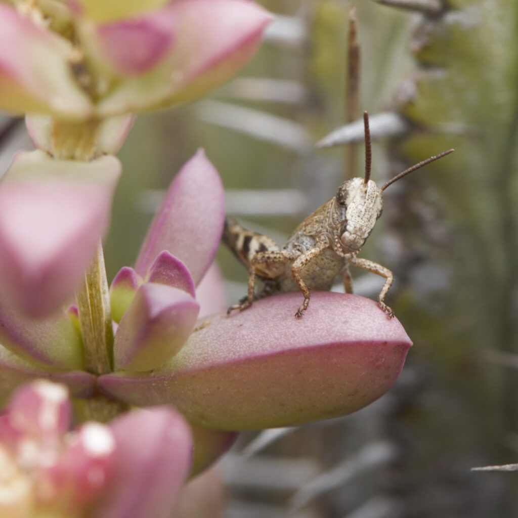
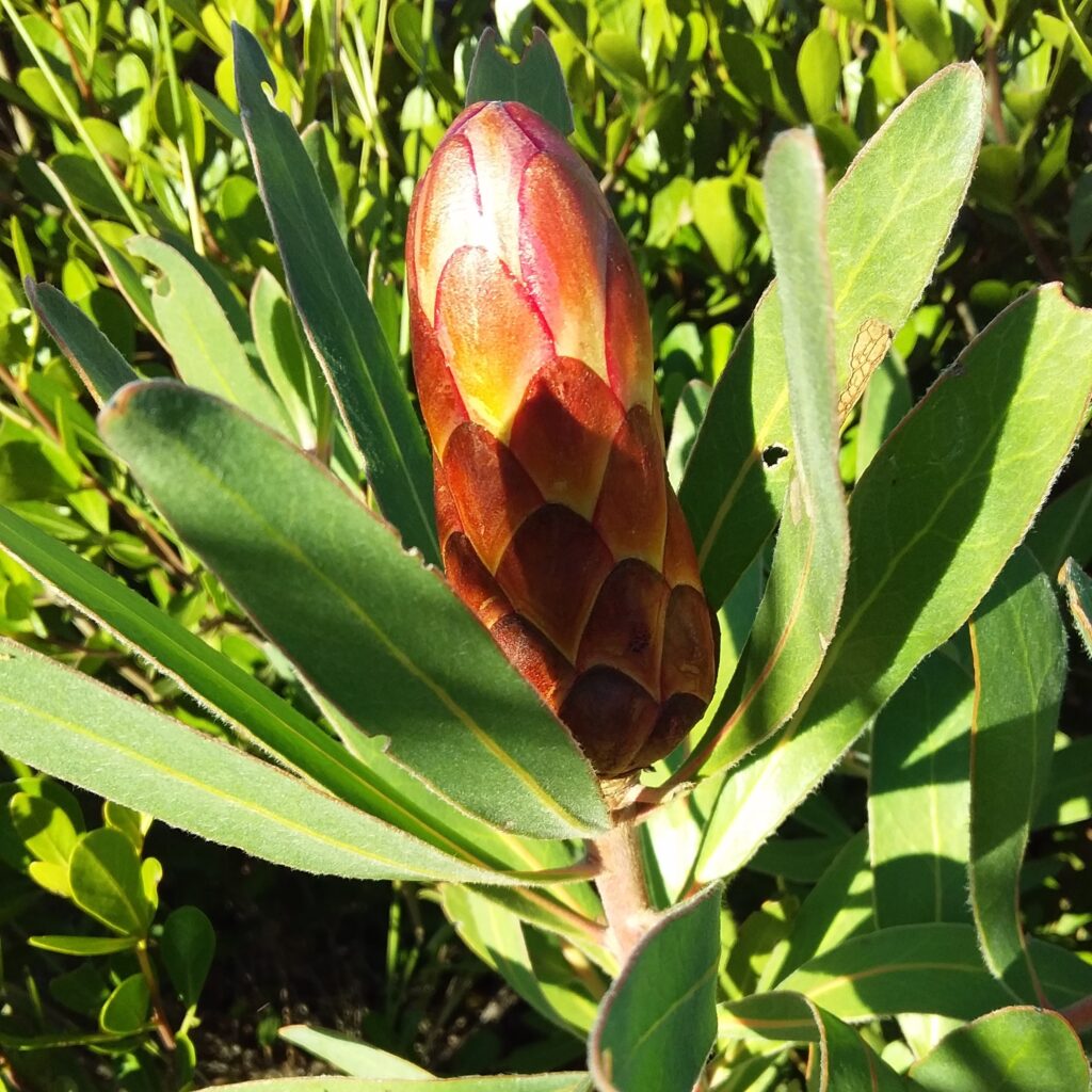
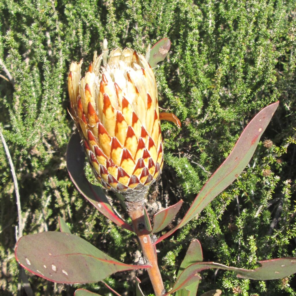
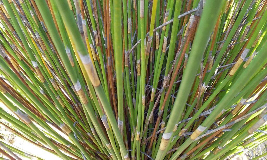
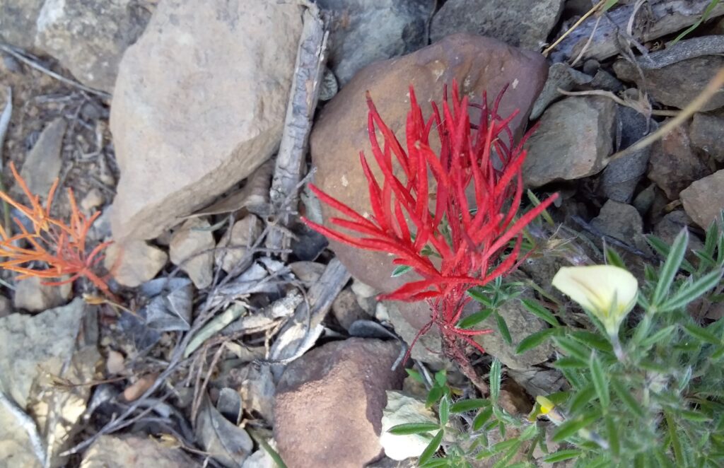
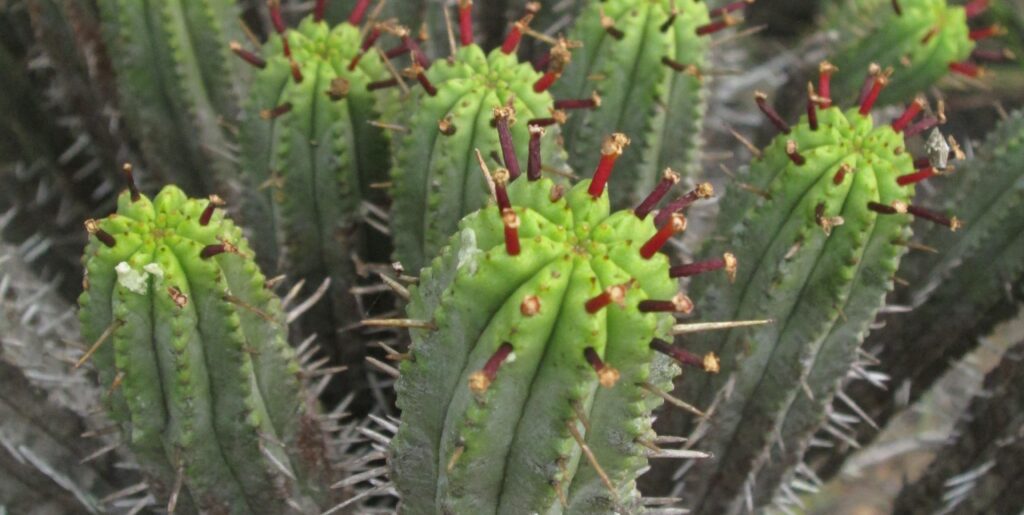
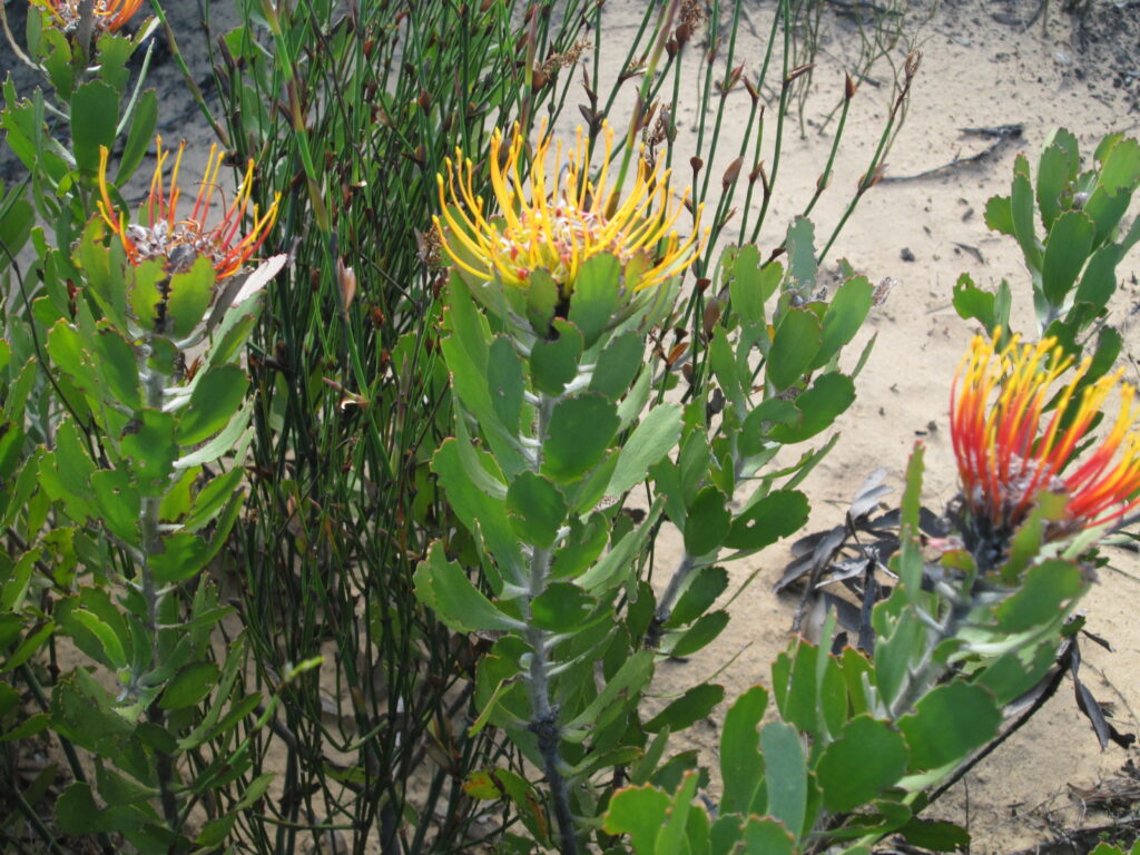
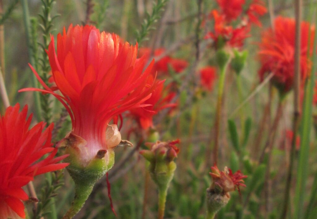
The property, which is located within the renowned Cape Floral Kingdom, was officially proclaimed a private nature reserve in 1994 on the basis of the remarkable range of habitats and high diversity of plant species. It is a unique floral reserve in that all the major plant communities of the Agulhas coastal plain occur in proximity to one another.
The meeting of different soil types (edaphic interfaces) is the driver of this diversity. All biotones (a distinctive transition from one set of biota to another) can be seen on the numerous hiking trails on the reserve.
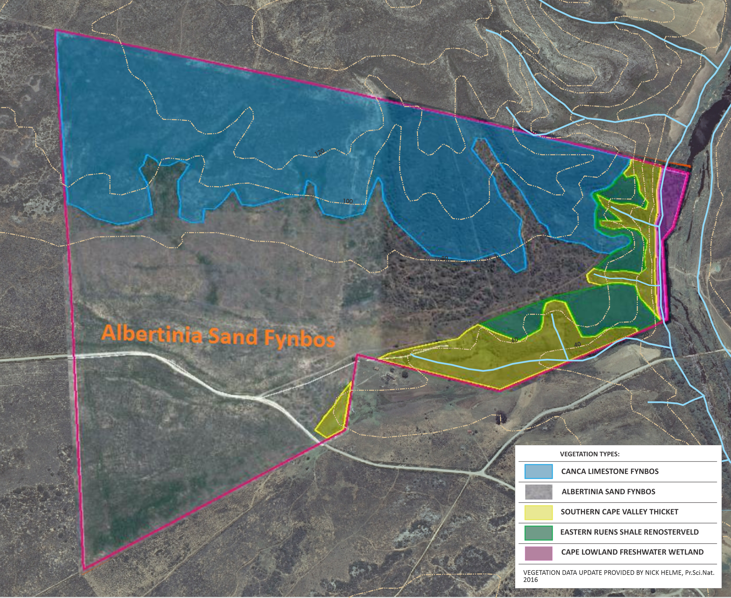
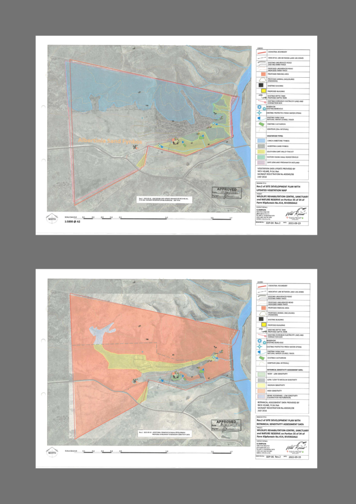
“The Hannes Zaaiman PNR punches way above its relatively modest size in terms of its botanical and ecological importance, as the property conserves four vegetation types, including 3 that are threatened on a national basis.
This habitat diversity is reflected in the likely presence of about 40 plant Species of Conservation Concern – a remarkably high number for its size, and a number which is indicative of both the threatened nature and the ecological diversity of the underlying habitats in this region.
Conserving and managing a portion of this special area is thus a wonderful opportunity to contribute to the long-term survival of the ecological value inherent in this region”
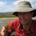
Nick Helme (Botanist, Pr.Sci.Nat)
Based on an assessment of botanical sensitivity zones prepared by botanist Nick Helme, Wild Goukou has carefully selected low impact sites for five new cottages that avoid medium or high sensitivity zones and make use of existing access routes and water reticulation networks.
WATER
The property has its eastern boundary in the waters of the Goukou River which flows from the Langeberg for 56 km to the Indian Ocean. ‘Goukou’ is an adaptation from the name given by the San, meaning ‘bulrush waterpool’. The Goukou River has one of the few permanently open estuaries in South Africa and is thereby considered an important ecological asset for coastal and marine conservation. The upper limit of the 19 km estuary is within 10 km of the property.
There is a reliable supply of untreated calcium-rich water from a borehole and the Klipfontein fresh water spring on the property, which is shared with the neighbouring farm.
Mattheus has been here for a long, long time. His father also drank water from the spring. At one stage it was all one farm called Klipfontein, and the spring was used by all the neighbours and family to water their cattle and sheep. They all came to the spring. Even when there was drought, the cattle and sheep still came to the spring from all the people around to drink. It flows throughout the year. It has never gone dry.”
Richard Nyanhi, interviewing the neighbour who shares the water rights from the Klipfontein Spring with Wild Goukou.
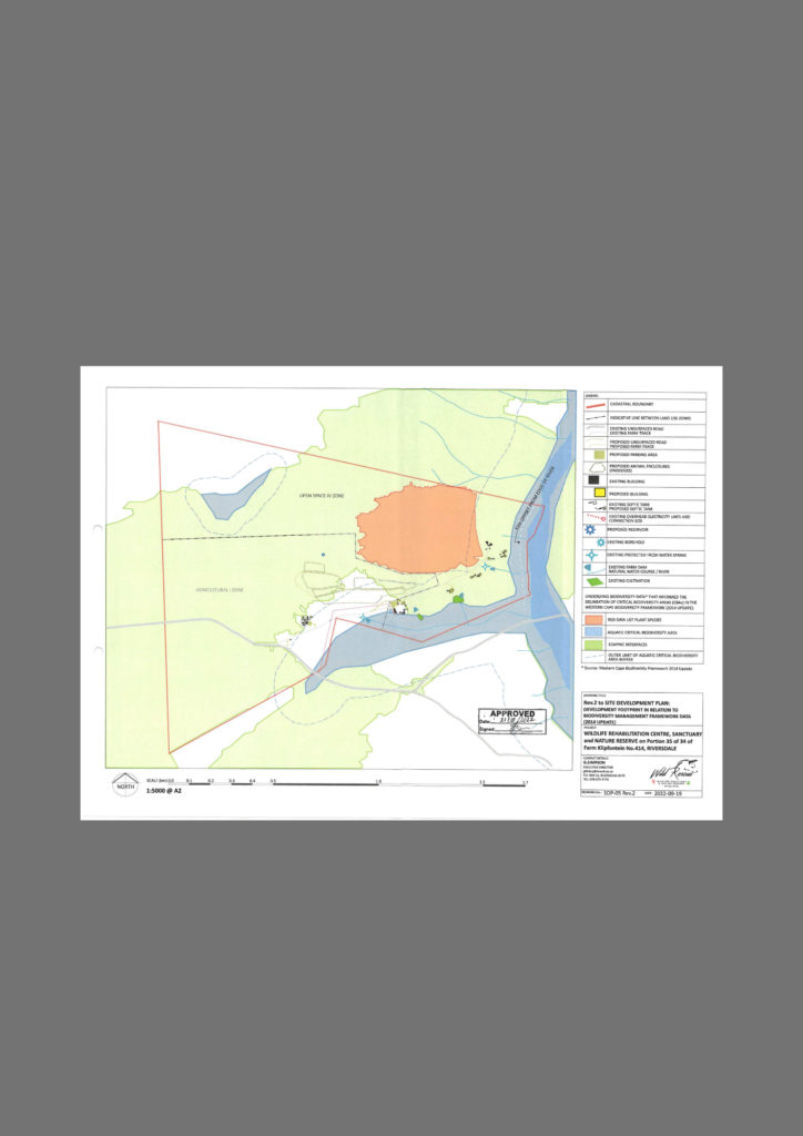
The presence of high botanical diversity, a perennial freshwater spring and a significant river on the eastern boundary all contributed to the inclusion of a large swathe of the property being identified as a Critical Biodiversity Area in the Western Cape Biodiversity Framework, with a significant role in ensuring connectivity within a mountain-to-sea corridor that supports migration of wildlife and ongoing adaptation and evolution of plant species. The property has always had sections of pristine habitats. Over the past six years of removing alien vegetation, we’ve witnessed the re-emergence of its natural state.
INFRASTRUCTURE
Existing infrastructure on the nature reserve comprises a 228 m2 2-bedroom homestead and dormitory loft, a 200 m2 outbuilding that includes a Verandah Room rental unit, and two 51 m2 stone cottages overlooking the river, one of which is undergoing restoration after fire.
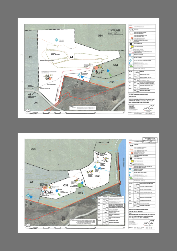
Within the Agriculture Zone there is a staff house and various wildlife enclosures within the lease area of the Wild Rescue NPC. All are served by piped water pumped from the spring and borehole. The homestead and outbuilding are connected to the electricity supply grid.
SPATIAL DEVELOPMENT PLAN
In 2017 the Hessequa Municipality approved a split land use classification in terms of the zoning scheme (Open Space IV and Agriculture I). The approved Spatial Development Plan provides for the addition of five small tourist cottages and two staff houses in the Open Space zone, along with the establishment of the wildlife rehabilitation centre and sanctuary in the Agriculture zone.
LOCATION AND NEARBY ATTRACTIONS
The property is situated in the Hessequa Municipality, Western Cape, South Africa, 32 km from Riversdale via the N2 and R305 and 27 km from Still Bay (Stilbaai), including a 10 km stretch that is unsurfaced.

Both Still Bay and Riversdale have commercial centres that cater to most domestic needs, including medical services. The Goukou Estuary is popular for boating and water sports, and the coastline offers a delightful variety of long sandy beaches, rocky shores and bays that have attracted holidaymakers, retirees and a new wave of digital nomads.
The nearest airport is at George, 131 km away, and the distance to Cape Town International Airport is 300 km.
The property is registered in the Deeds Office as Erf 35 of Farm Klipfontein No.414, Riversdale and is 164.8 hectares in extent.
More information on the region can be found at:
